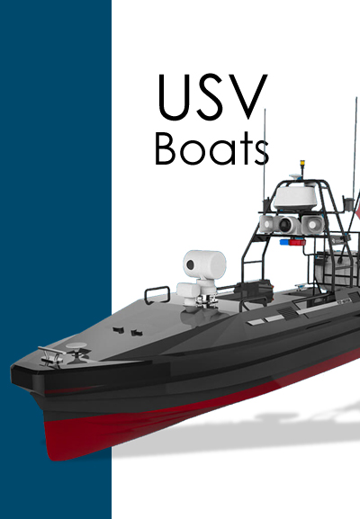
Request for Quotation

Specifications
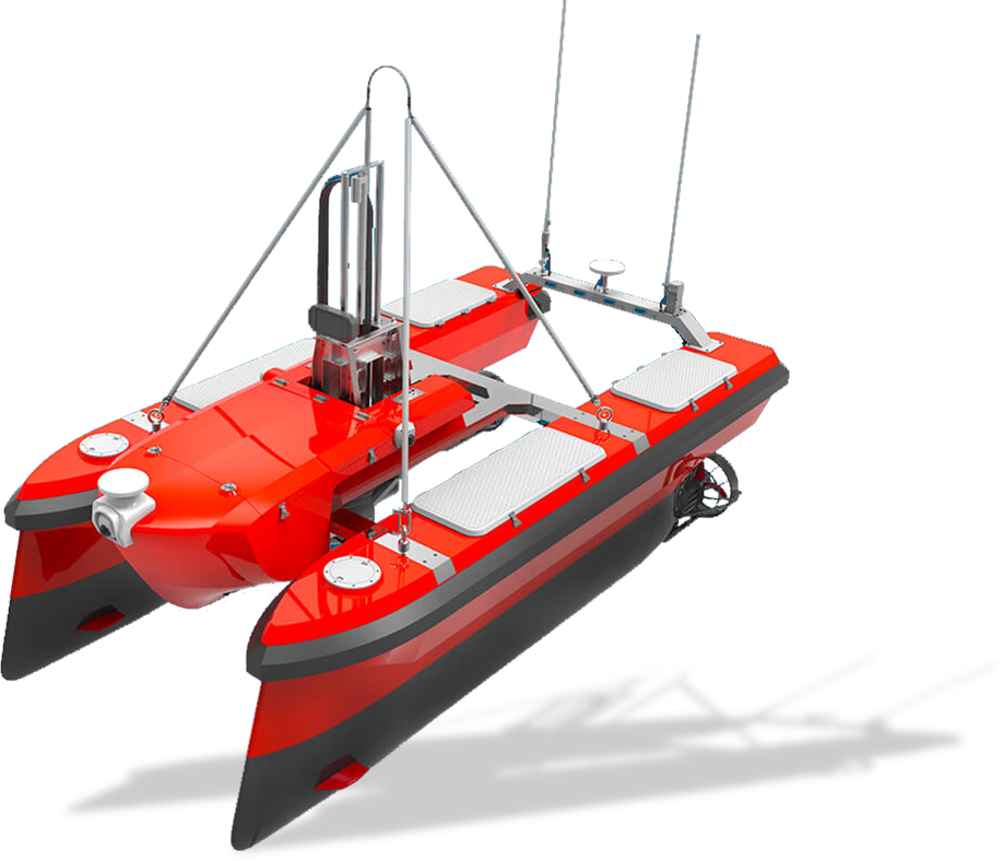
Dimensions 3.3*1.9*1.45m
Weight 525kg
Draft 0.4m
Power Electric propulsion
Endurance 8 hours
Payload 60 kg
Survey speed 4.5 knots
Max. Speed 7 knots
Sea State Operation SS-3
Communication Range 5km
Camera YES
Collision Avoidance YES
Automatic winch YES (Optional)
Autonomous survey boat M40 is a medium sized platform designed for hydrographic survey in coastal area and deep ocean water.
With modular catamaran design and flexible payload for instruments, M40 is developed to provide high performance survey with multi beam sonar and different kinds of hydrographic and monitoring instruments in ocean.
- 5kg payload, compatible with multi-beam sonar
- Automatic lifting system, fully protect the transducer